Maafushi and Hulhumalé: a Maldives local-island photo guide
By Otis Powell · Official sources checked 21 September 2026
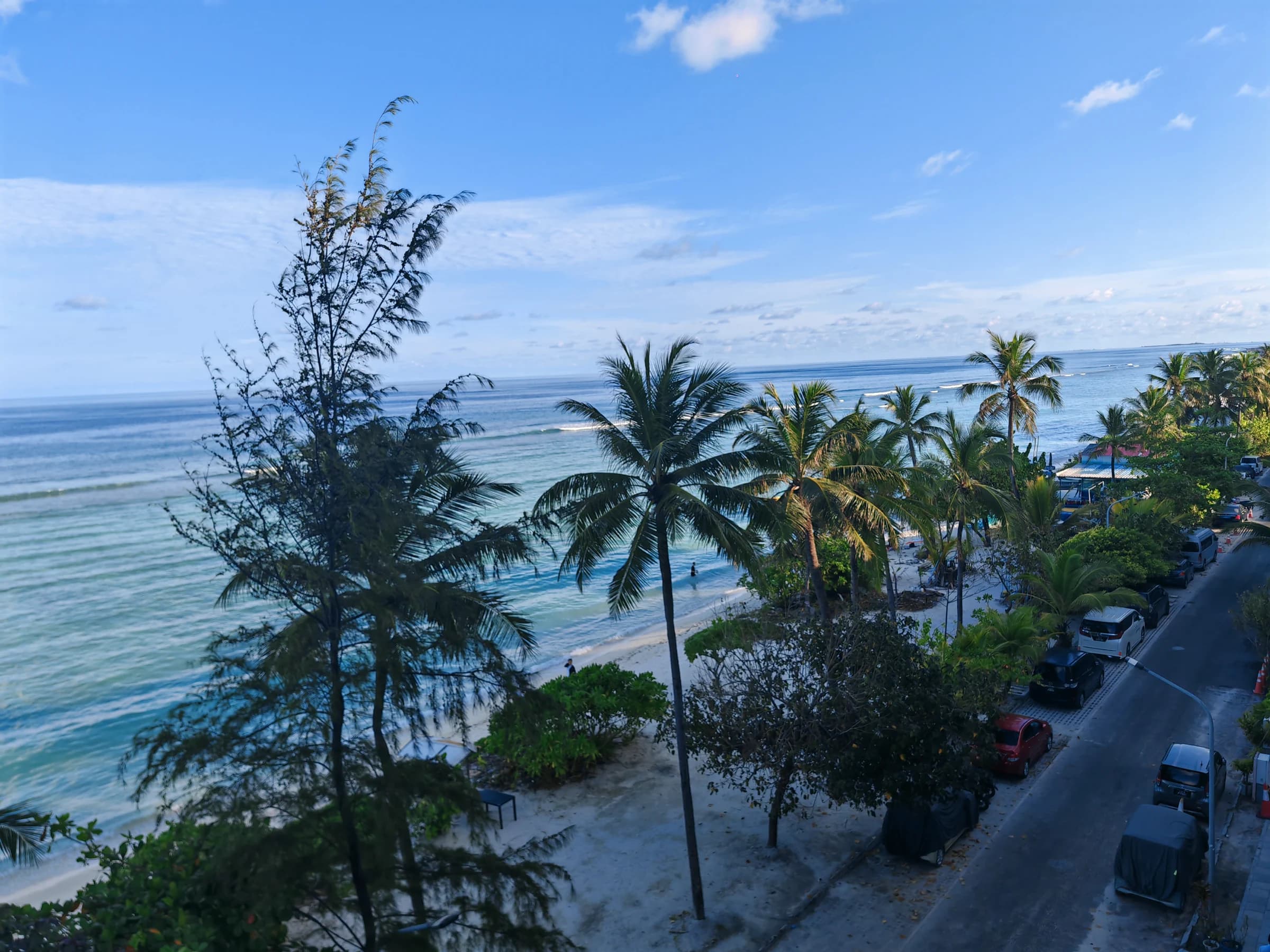
These March 2025 photographs move between palm shade on Hulhumalé and a bright curve of sand and water on Maafushi. The Maldives archive also includes Malé and Villingili; this small selection is not a complete account of the country or a claim that the islands share one pace.
Two island shorelines, two different frames
At Hulhumalé, palms form a foreground above the beach and the open sea. The Maafushi picture turns toward the curve of the shoreline, where the pale sand draws a line through the blue. They are both coastal photographs, but they do not make the places interchangeable: each image records its own island and moment.
The source folders date both photographs to March 2025. They confirm the two locations and month, not a transfer between them, a particular boat, or the number of nights spent in either place. For the wider personal record, the linked Maldives journal also includes frames from Malé and Villingili.
Research local islands with current sources
Visit Maldives’ destination material introduces Hulhumalé and names several inhabited islands, including Maafushi, as distinct ways to experience the country. The Secretariat of the Maafushi Council publishes its own island visitor guide. Read these as orientation, then verify schedules and arrangements directly with your accommodation and transfer operator: services, prices and operating details can change.
The Maldives Ministry of Tourism maintains a register of tourism facilities. Checking the relevant official listings is a useful due-diligence step when comparing accommodation or a service provider; it does not replace confirming your actual booking and transfer with that provider.
Plan around place, not a stock image
A beach photograph cannot tell you the current sea conditions, local rules, access arrangements or whether an activity is running. Check those details close to your dates, follow local guidance, and be considerate when photographing residents and shared spaces. Choose an island because its real setting and available services suit your trip, rather than assuming every Maldivian shore offers the same experience.
This guide stays close to the photographs: two shorelines, two named places and a month confirmed by the archive. Use the official links below for current planning information and the journal for more of the first-hand visual record.
Official visitor resources
- Visit Maldives: destination ideas and local islands ↗
- Secretariat of the Maafushi Council: visitor guide ↗
- Maldives Ministry of Tourism: registered facilities ↗
Official pages can change. This guide was checked on 21 September 2026; confirm current entry, operating and safety information with the relevant authority before travel.